|
 |
 |
 |
 |
 |
| ▲ | |
 |
 |
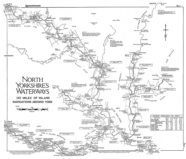
| Map No1 North Yorkshire's Waterways |
Map No2 Pennine Waters - West |
 |
 |
| Map No3 Pennine Waters - East |
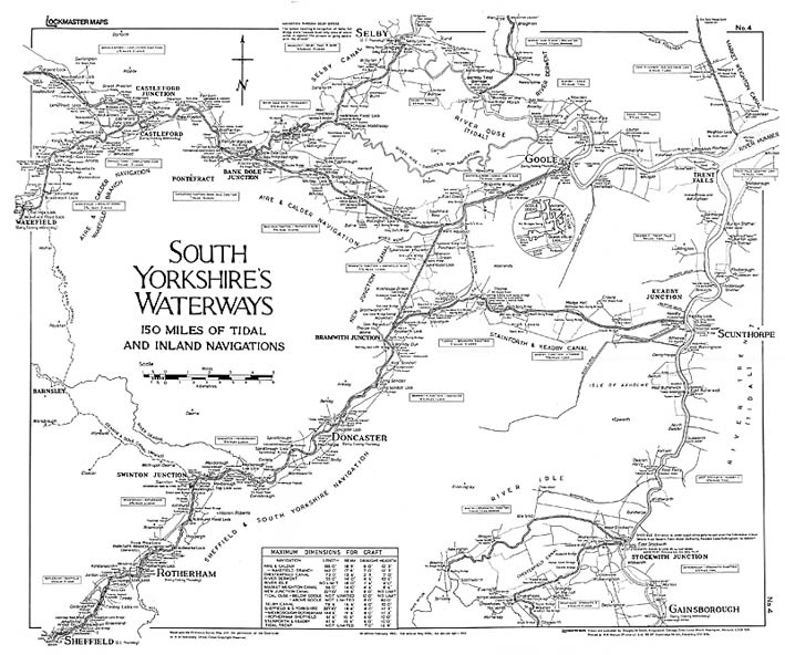
Map No4 South Yorkshire's Waterways |
| ▲ | |
 |
 |
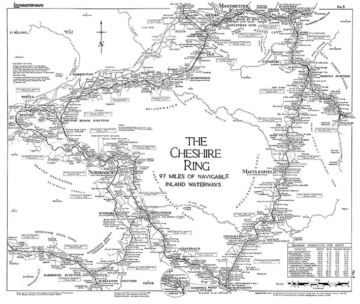
| Map No5 The Cheshire Ring |
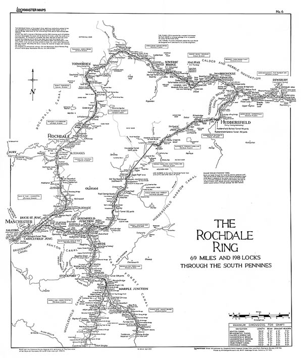
Map No6 The Rochdale Ring |
 |
 |
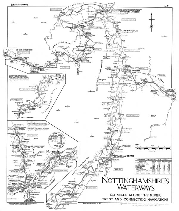
| Map No7 Nottinghamshire's Waterways |
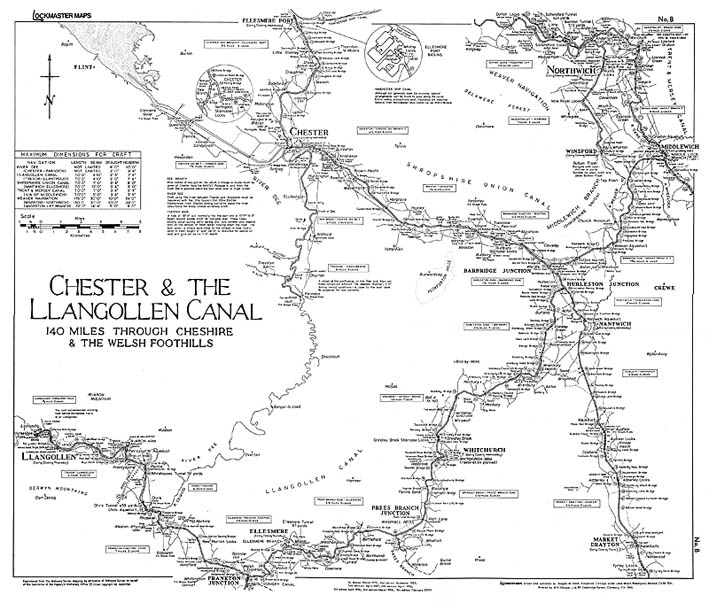
Map No8 Chester & The Llangollen Canal |
| ▲ | |
 |
 |
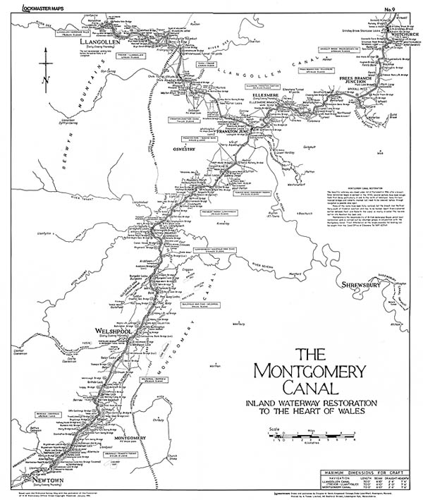
| Map No9 The Montgomery Canal |
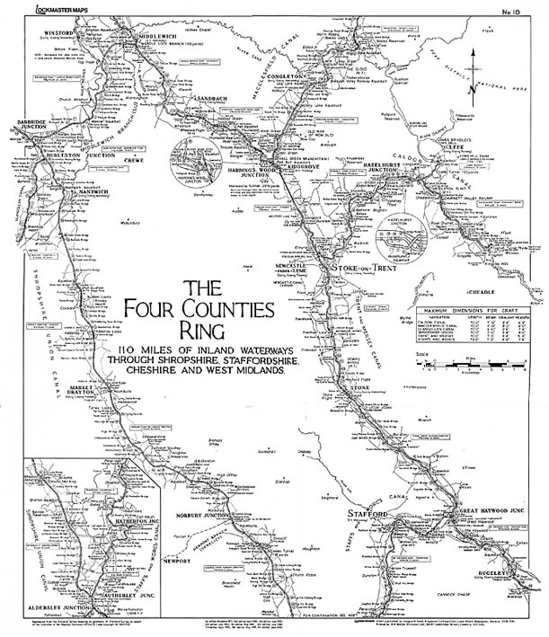
Map No10 The Four Counties Ring |
 |
 |
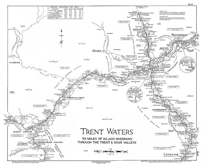
| Map No11 Trent Waters |
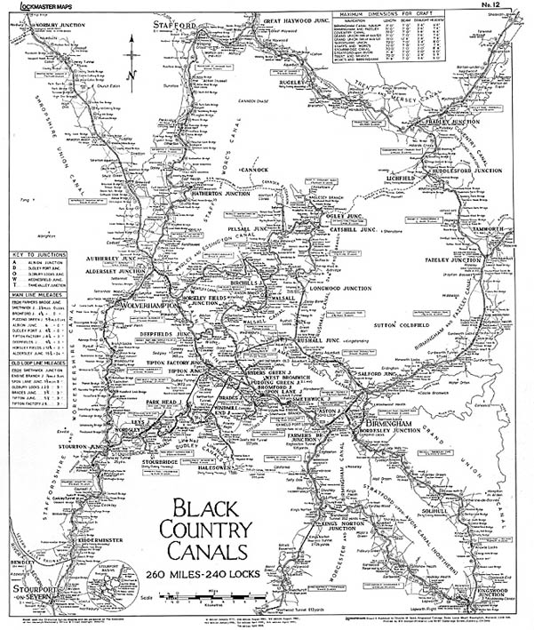
Map No12 Black Country Canals |
| ▲ | |
 |
 |
| Map No13 The Warwickshire Ring |
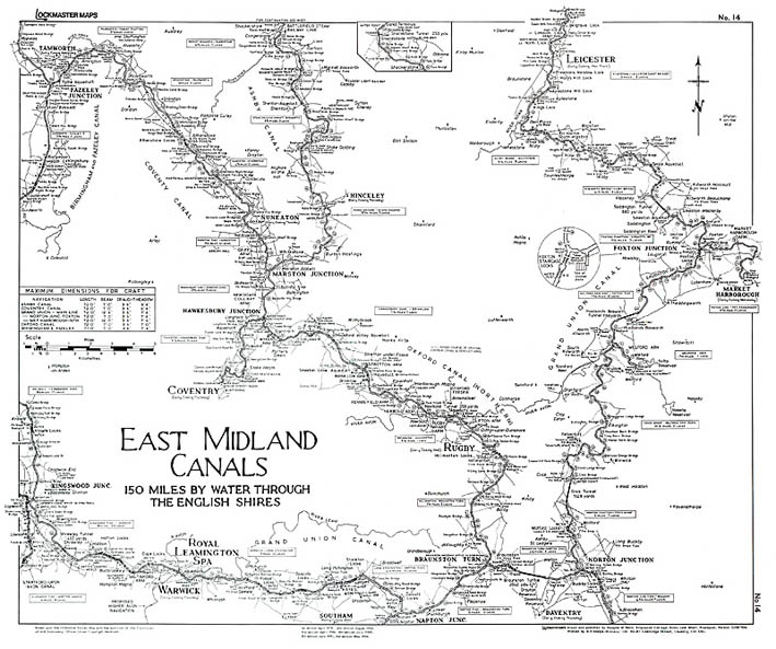
Map No14 East Midland Canals |
 |
 |
| Map No15 The Avon Ring |
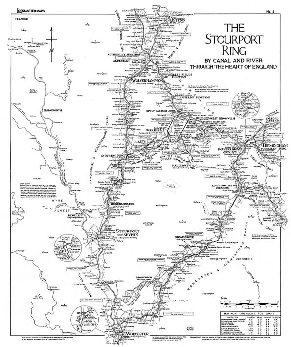
Map No16 The Stourport Ring |
| ▲ | |
 |
 |
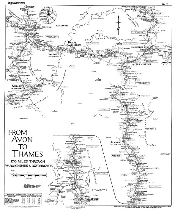
| Map No17 From Avon To Thames |
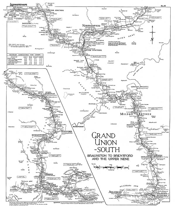
Map No18 Grand Union - South |
 |
 |
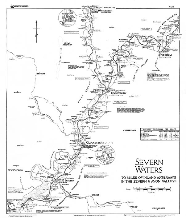
| Map No19 Severn Waters |
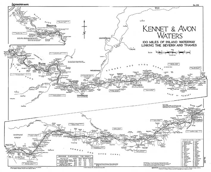
Map No20 Kennet & Avon Waters |
| ▲ | |
 |
 |
| Map No21 The Upper Thames |
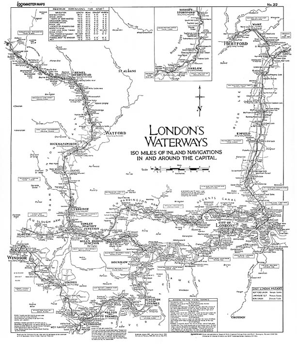
Map No22 London's Waterways |
 |
 |
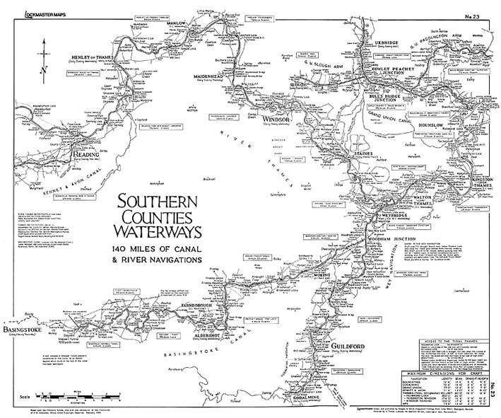
| Map No23 Southern Counties Waterways |
Map No24 The Monmouthshire & Brecon Canal |
| ▲ | |
 |
 |
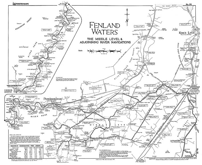
| Map No25 Fenland Waters |
Map No26 The River Great Ouse |
 |
|
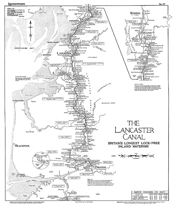
| Map No27 The Lancaster Canal |
|
|
Copyright © 2014 Canal Wholesale Supplies Ltd |